Conquering the Rwenzori Mountains: The Mystical Challenge
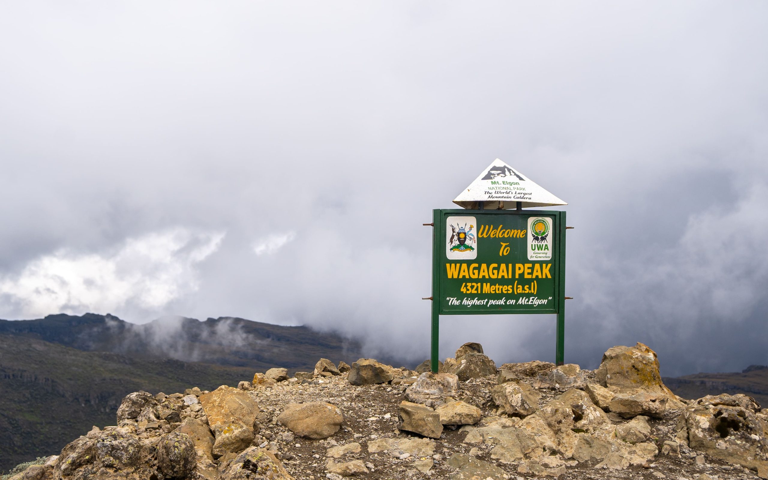
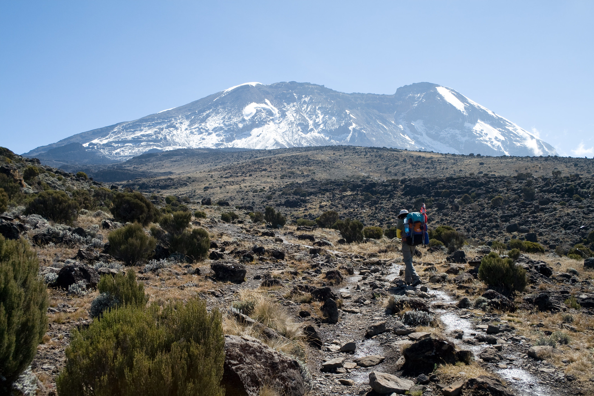
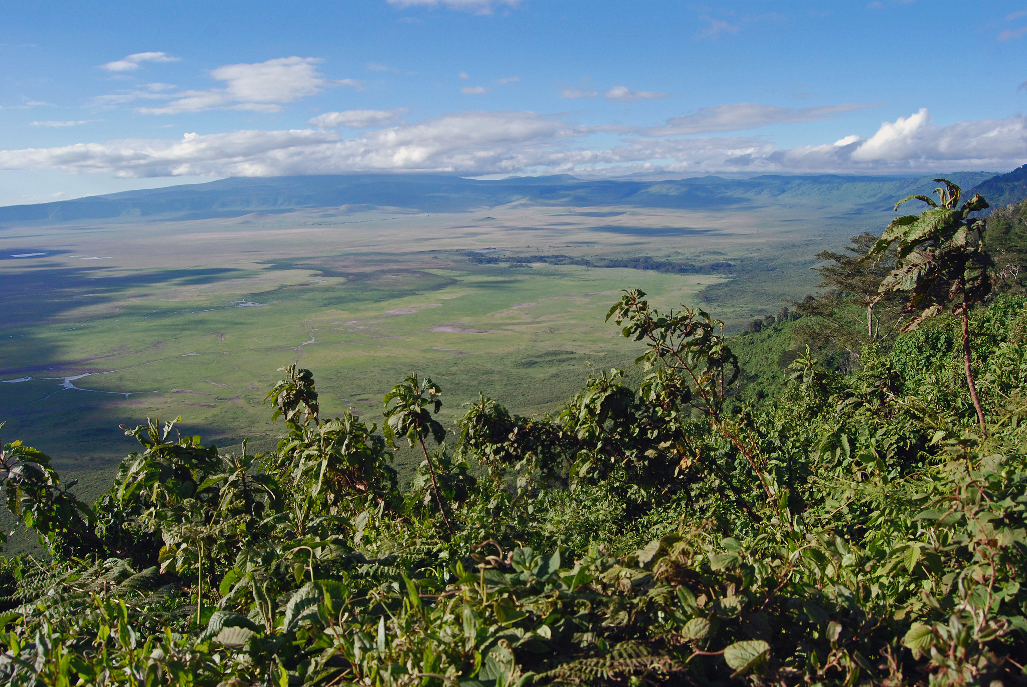
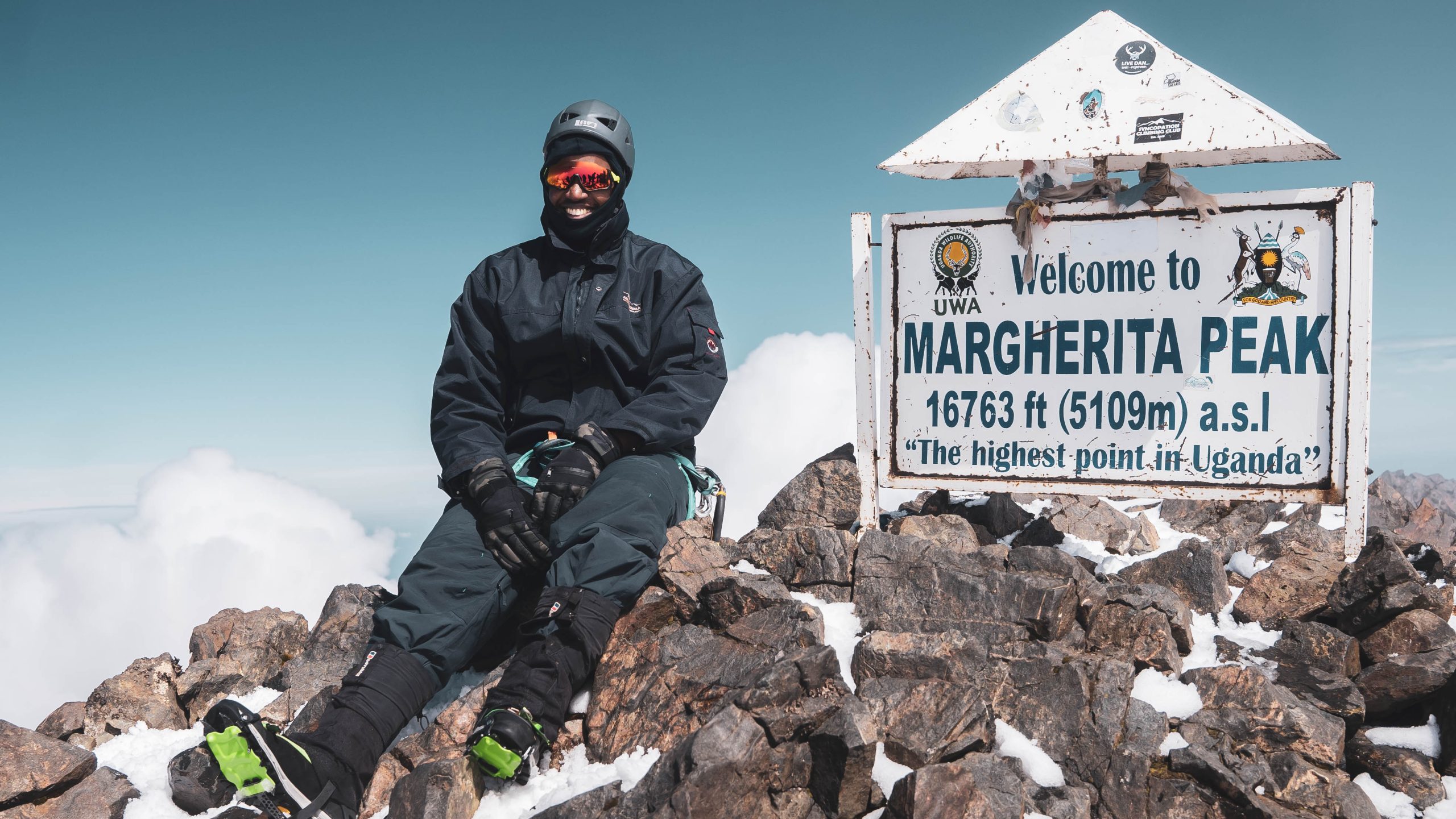
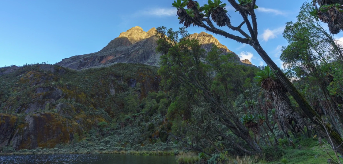
The Rwenzori Mountains, often called the “Mountains of the Moon,” rise dramatically along Uganda’s western border with the Democratic Republic of Congo. This non-volcanic range—formed by massive tectonic uplift in the Great Rift Valley—stretches 120 km long and 65 km wide, with its highest point, Margherita Peak on Mount Stanley, reaching 5,109 meters. Unlike East Africa’s iconic volcanic peaks, the Rwenzori is a block of ancient crystalline rock draped in mist, earning its local name meaning “Rain-Maker” or “Cloud-King.”
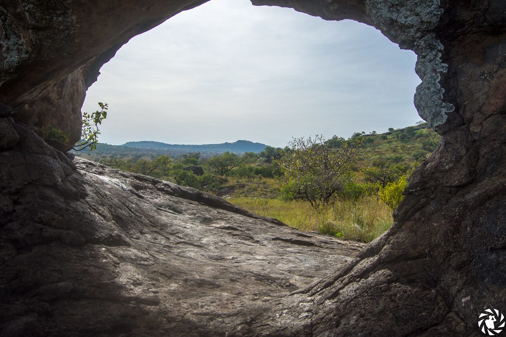
Gazetted as a national park in 1991, recognized as a UNESCO World Heritage Site in 1994, and designated a Ramsar wetland site in 2008, the Rwenzori Mountains National Park protects a unique and otherworldly landscape of giant lobelias, towering tree heathers, colorful mosses, glacial lakes, and perpetual cloud cover that creates an enchanting, almost mythical atmosphere.
Extraordinary Biodiversity
Despite its harsh high-altitude conditions, the Rwenzori supports remarkable wildlife. The park is home to around 217 bird species, including 19 Albertine Rift endemics. Birding is best in the lower montane forests, where you might spot the striking Rwenzori turaco, sunbirds, robins, bee-eaters, and the elusive long-eared owl. Higher up, bearded vultures (lammergeiers), swifts, and black eagles soar on thermals.
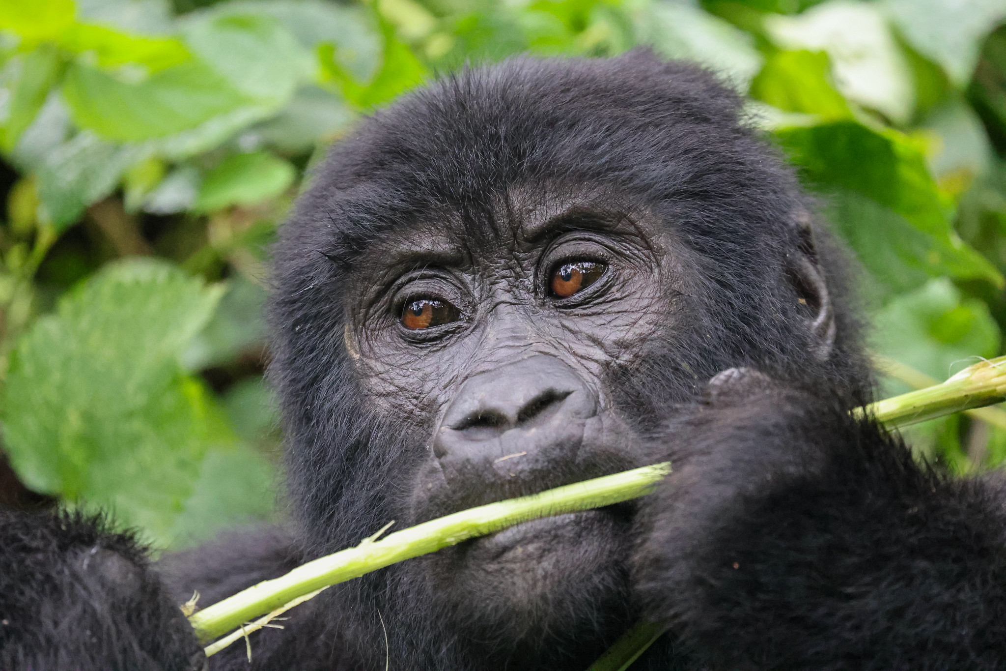
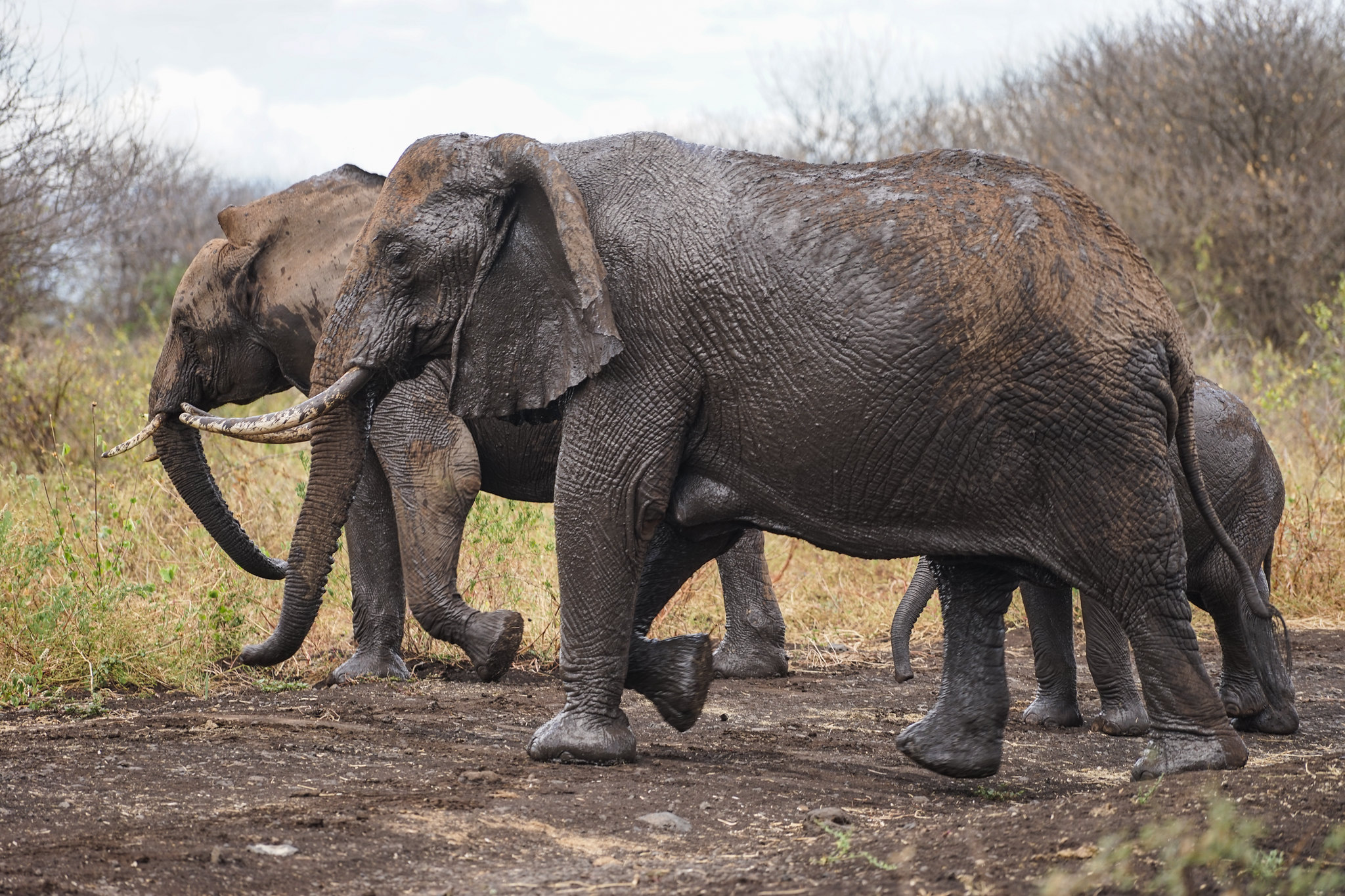
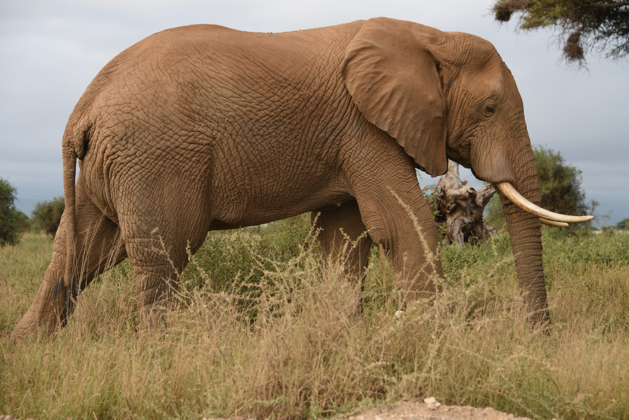
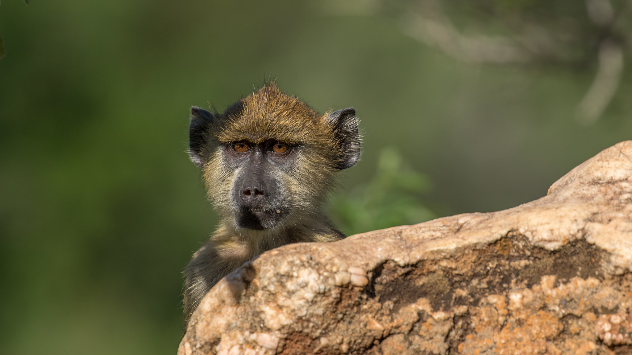
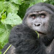
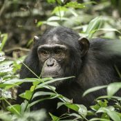
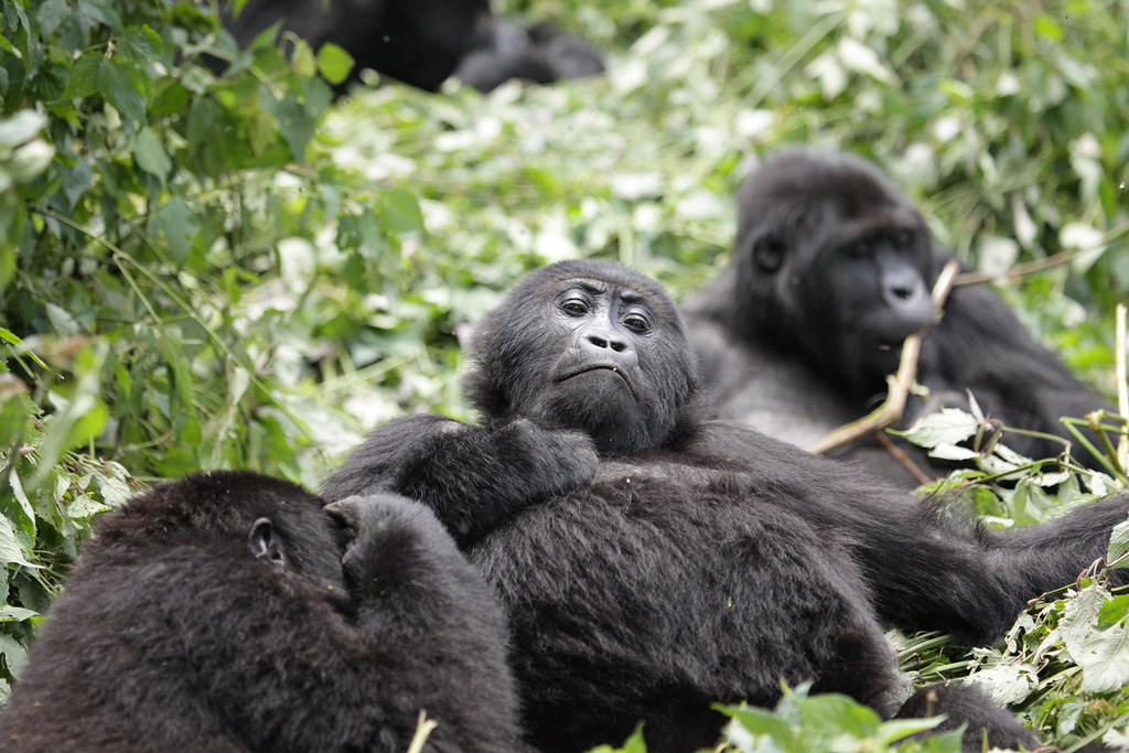
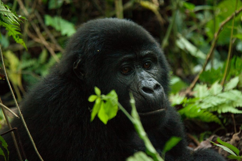
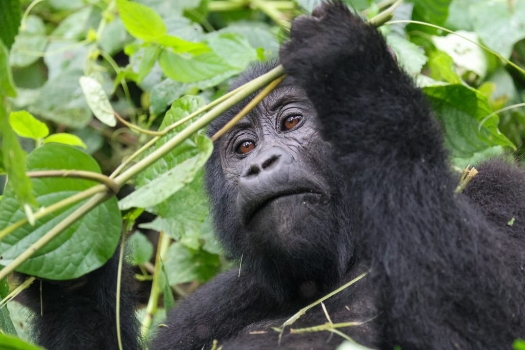
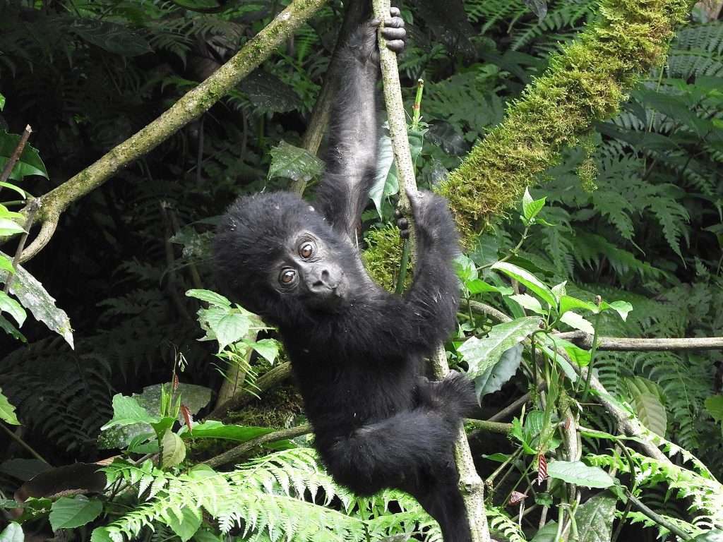
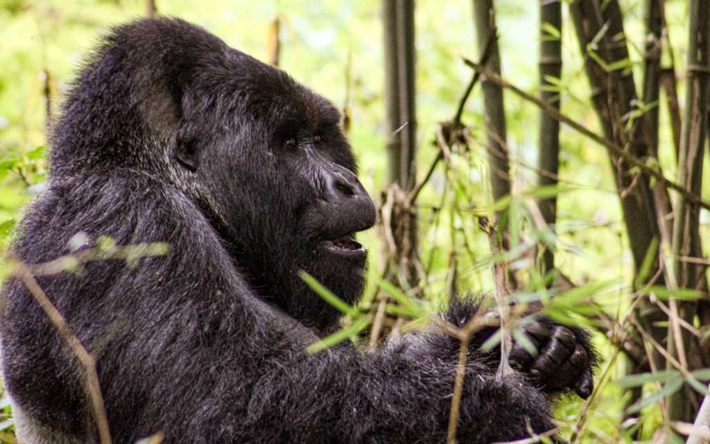
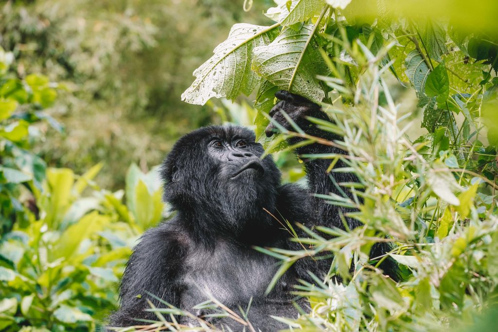
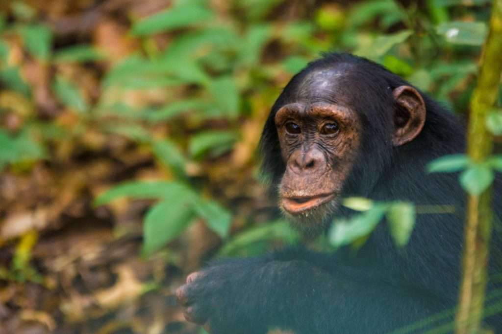
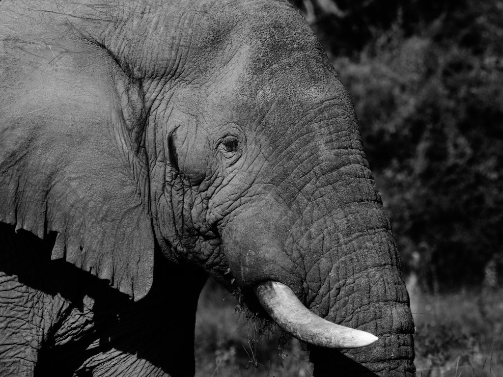
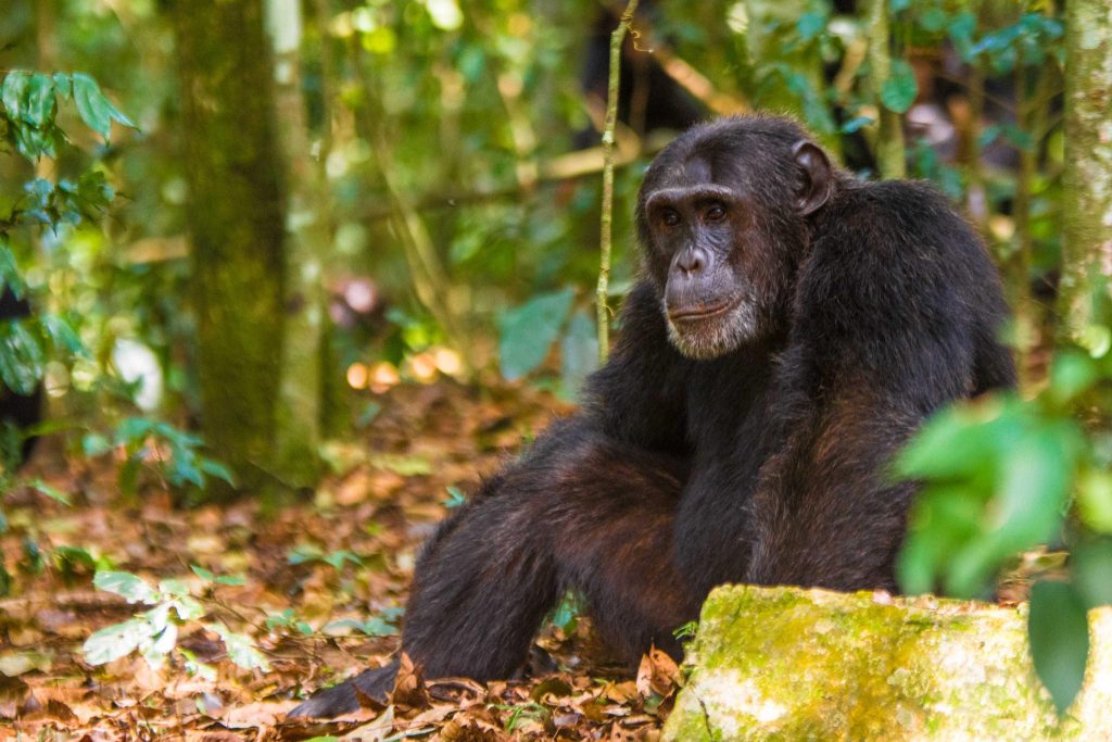
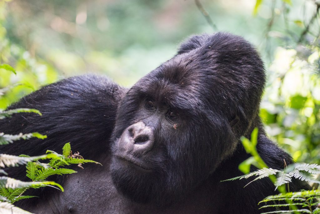
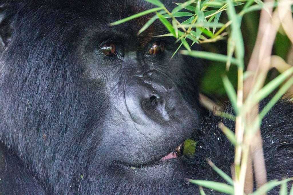
Mammals are less abundant at altitude but include forest elephants, primates like black-and-white colobus monkeys, and the rare three-horned Rwenzori chameleon. The park’s rare Afro-alpine vegetation—giant groundsels, lobelias, and heather forests—creates one of the world’s most distinctive mountain ecosystems.
Unmissable Activities
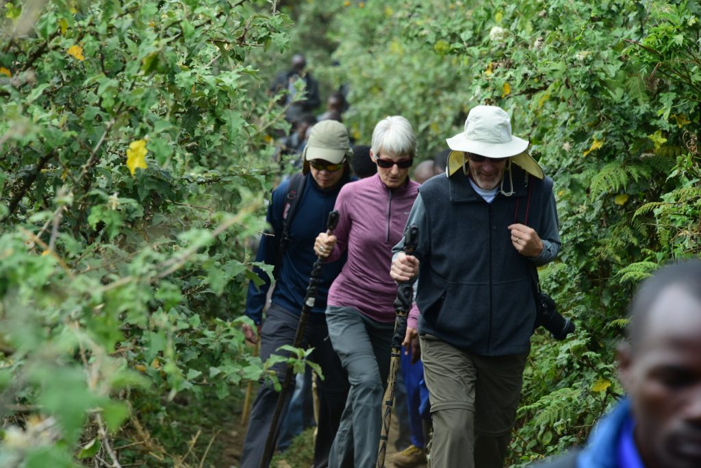
The Rwenzori is renowned for its challenging yet rewarding trekking routes—no technical climbing skills are required, but fitness and determination are essential due to the wet, muddy trails and high altitude.
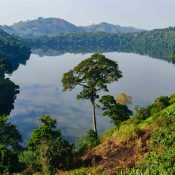
The Central Circuit Trail This classic 7-day loop starts at Ruboni and follows the Bujuku Valley, crossing Scott Elliot and Freshfield Passes before descending through the Mubuku Valley. Trekkers pass glacial lakes, stunning viewpoints, and have the option to summit snow-capped peaks. Even without reaching the summits, the dramatic scenery is profoundly rewarding.
The Kilembe Trail Starting near Kasese, this southern route ascends the Nyamwamba Valley past scenic glacial lakes and joins the Central Circuit at Lake Kitandara. It offers opportunities to climb Mount Baker and is known for its beautiful viewpoints and varied landscapes.
Shorter hikes (1-3 days) are available for those seeking a taste of the mountains without the full commitment.
Birding and Nature Walks Guided birding walks in the montane forest offer excellent chances to spot endemic species. Nature trails reveal unique flora and occasional wildlife sightings.
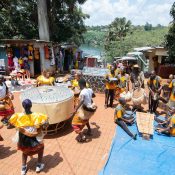
Community and Cultural Experiences At the foothills, visit Ruboni village, home to the Bakonzo people. Join locals in daily activities—tending crops and livestock, cooking traditional meals, or learning from blacksmiths, basket weavers, and traditional healers. Enjoy vibrant cultural performances with dance and drumming. A guided walk along the crystal-clear Mubuku River (“Ruboni” means “clear water” in Lukonzo) provides opportunities to meet villagers, spot birds and chameleons, and glimpse the towering peaks above the forest.
How to Get There
Adventures in Mountain Rwenzori
The Rwenzori Mountains National Park lies in western Uganda, near the towns of Kasese and Fort Portal.
By Road:
From Kampala, the drive takes 5-7 hours (about 380 km). The most common route is via Fort Portal (northern access to Ruboni trailhead) or via Mbarara and Kasese (southern access to Kilembe trail). Roads are mostly tarmacked until the final stretches to the trailheads, where 4WD is recommended. Most climbers arrange transport through registered tour operators based in Kasese or Fort Portal.
Public buses run daily from Kampala to Kasese or Fort Portal; from there, hire a boda-boda or special-hire vehicle to the trailheads.
By Air:
Scheduled or chartered flights from Entebbe to Kasese Airfield reduce travel time significantly, followed by a short road transfer to the trailheads.
The drier seasons (June-September and December-February) offer the best conditions for trekking, with less rain and clearer views—though the Rwenzori’s famously unpredictable weather means mist and showers are always possible.
The Rwenzori Mountains deliver a truly mystical challenge: a journey through cloud-shrouded peaks, ancient forests, and timeless landscapes that few other African ranges can match.